

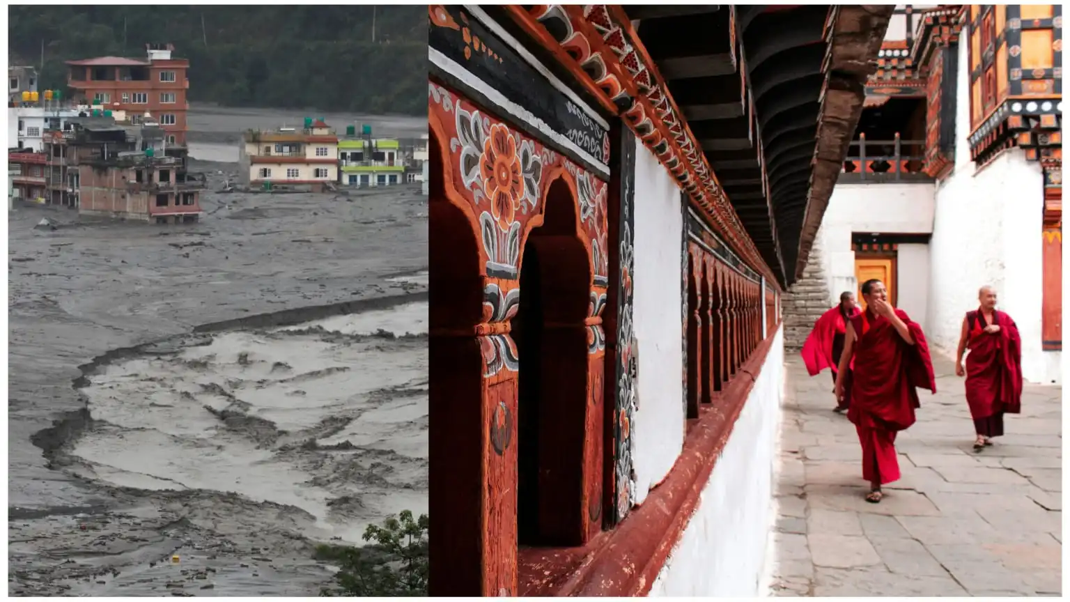
A glacial lake outburst flood (GLOF) in Bhutan has led to emergency flood alerts in parts of northern West Bengal and Assam, prompting evacuation measures and raising fresh worries about the vulnerability of communities living downstream of Himalayan rivers. The incident, reported on October 29–30, 2026, has also shown the importance of regional cooperation on flood forecasting and early-warning systems, especially for downstream countries like Bangladesh.
The eruption was reported at Shintaphu Lake in Bhutan’s Gasa district, below Wakila Mountain. The Mo Chu river system saw a sudden surge of water toward the Sankosh River as water was released, raising concerns of possible flooding in downstream areas of India.
Red Alert Issued in North Bengal and Assam
Authorities in West Bengal issued high alert and evacuation advisories for vulnerable communities along the Sankosh River and its tributaries. Alipurduar and Cooch Behar were among the districts put under close watch, while parts of Assam, including Dhubri, were also put on alert over the possibility of rising river levels.
Residents living near river banks have been advised to move to safer places. Disaster response teams were mobilised, and local administrations started coordinating evacuation and relief arrangements. Thousands of people had been moved or relocated to safer areas, reports said.
The flood also raised alarm in Bhutan, where infrastructure was damaged. Reports said a stretch of the road to Laya was washed away, and facilities near the Gasa Tshachu hot springs were impacted. Early reports said nobody had been killed or injured.
Why Bangladesh needs to pay attention
Although Bhutan and Bangladesh are not directly bordered by each other, the two countries are connected through the larger Himalayan river system. Geographically, India lies between the two. Rivers that originate in or pass through the Himalayan region eventually join the wider network of rivers that affect Bangladesh.
The vast river system and low-lying floodplains of Bangladesh make it especially vulnerable to upstream water variability. The Ganges, Brahmaputra and Meghna river systems carry huge amounts of water across national boundaries into Bangladesh.
A sudden flood event in Bhutan does not mean that there will be flooding in Bangladesh. The actual downstream impact depends on the river basin involved, how much water is released, rain conditions, river levels and the flow of floodwater through connecting waterways.
But the latest incident is a reminder of why Bangladesh needs timely and reliable upstream hydrological information.
Transboundary River Connection
The Sankosh is especially important in understanding possible regional ramifications. The river originates in Bhutan and forms the boundary between West Bengal and Assam before entering Bangladesh to join the Brahmaputra River system, after which its flow is known as the Gangadhar, says the Irrigation and Waterways Department of West Bengal.
Other rivers originating from the Himalayan region flow into Bangladesh, including the Torsa, Raidak and Jaldhaka. These waterways link weather and water conditions upstream in Bhutan and northeastern India to river systems downstream in Bangladesh.
Early communication is vital, given the geographic connection. Even when there is no direct threat to Bangladesh from an emergency, sudden changes in the amount of water flowing in the rivers upstream can give important information for preparing for floods downstream.
Existing Early Warning Cooperation and Its Limitations
India and Bhutan already have a cooperative framework for flood forecasting. A network of 36 hydrometeorological stations is maintained by a Joint Expert Team on transboundary rivers such as the Sankosh, Manas, Raidak, Torsa and Jaldhaka, according to a February 2026 statement tabled in India’s Lok Sabha.
India also has a standing arrangement with Bangladesh, dating back to 1972, for sharing agreed flood-related information, including water levels, discharge and rainfall measurements from identified monitoring stations.
However, the effectiveness of these arrangements relies on the speed of information collection, validation and dissemination in case of sudden emergencies.
The latest Bhutan incident raises several important questions for Bangladesh:
- Will flood information from upstream reach authorities downstream in time to prepare vulnerable communities?
- Are India-Bhutan and India-Bangladesh channels effective in conveying emergency warnings?
- How can river level monitoring and forecasting systems be improved to include sudden GLOFs?
- Is there enough coordination between national disaster management agencies when a flood threat spans multiple river systems?
Climate Change Makes Himalayan Flood Risks Worse
Himalayan communities face serious hazards including glacial lake outburst floods. As glaciers retreat, meltwater often collects in glacial lakes that have the potential to expand and suddenly drain.
A GLOF can release vast amounts of water in a short time. These events can produce sudden surges that carry rocks, sediment and debris, damaging roads, bridges, settlements and agricultural infrastructure, unlike normal seasonal flooding.
For Bangladesh, which faces recurrent riverine and monsoon flooding, the changing behaviour of Himalayan river systems adds another dimension to disaster preparedness. Studies in the Ganges-Brahmaputra-Meghna basin have similarly highlighted the need to improve long-term observations of streamflow and forecasting abilities.
Bangladesh Needs Better Regional Flood Warnings
The Bhutan GLOF incident should inspire Bangladesh, India and Bhutan to improve their cooperation in real-time hydrological information and emergency communication.
Bangladesh cannot afford to wait for floodwaters to reach its territory to prepare for a potential threat. Early information on upstream lake breaches, river discharge, rainfall and water-level changes could help authorities assess risks and issue timely advisories.
Better forecasting models, direct lines of communication between disaster management agencies, the sharing of verified emergency alerts, and more robust automated monitoring stations could all shorten the lag between detecting an upstream hazard and notifying downstream communities.
The latest incident does not indicate that Bangladesh is facing an immediate flood emergency from the Bhutan GLOF. But it shows how fast a natural hazard in the Himalayas can become a regional concern.
As climate-related risks grow, flood preparedness can no longer be contained within national borders. Timely cross-border warnings and reliable upstream data are becoming ever more important components of protecting lives, livelihoods and infrastructure for Bangladesh.
Discover Cross-Border Nepal Floods, Bangladesh Aid and Regional Power Supply With Pulse
1. Why did Bangladesh provide $1 million to Nepal after the Himalayan floods?
Bangladesh provided $1 million in assistance to support Nepal’s disaster response and recovery efforts following devastating floods in the Himalayan region. The aid reflects regional cooperation and humanitarian support during natural disasters. Read more about Bangladesh’s $1 million assistance to Nepal after the Himalayan floods.
2. How have Nepal’s floods affected electricity exports to Bangladesh?
Flood damage in Nepal has disrupted key hydropower infrastructure and affected electricity exports to Bangladesh. The disruption highlights the challenges of depending on cross-border power supplies during extreme weather events. Explore our report on Nepal floods halting key power exports to Bangladesh.
3. Why could Nepal’s floods create risks for Bangladesh?
Floods in Nepal can have wider regional consequences through disruptions to energy supplies, transport networks, trade and cross-border cooperation. Such events also highlight the vulnerability of South Asian countries to climate-related disasters. Read more about the risks Nepal’s floods pose for Bangladesh.
4. How are Himalayan floods connected to flooding risks in Bangladesh?
The Himalayan region and Bangladesh are connected through major river systems. Heavy rainfall, rapid snowmelt and upstream flooding can influence river flows downstream, although the impact depends on rainfall patterns, river conditions and local geography. Discover more in our report, From Himalayan Villages to Flooded Coasts.
5. What does Nepal’s flood crisis reveal about climate risks in South Asia?
Nepal’s flood crisis highlights how extreme weather can affect communities, energy infrastructure, regional economies and disaster preparedness across South Asia. It also underlines the importance of regional cooperation, early-warning systems and climate resilience. Explore how Nepal’s floods raise risks for Bangladesh.