
Walk anywhere in Bangladesh and you will meet water. Roughly 700 rivers of Bangladesh wind through the delta, and most of them end up in the Bay of Bengal. Eight major rivers matter most, because they decide where crops grow, where boats travel and where cities rise. Here is what each one does.
1.The Padma Feeds the South
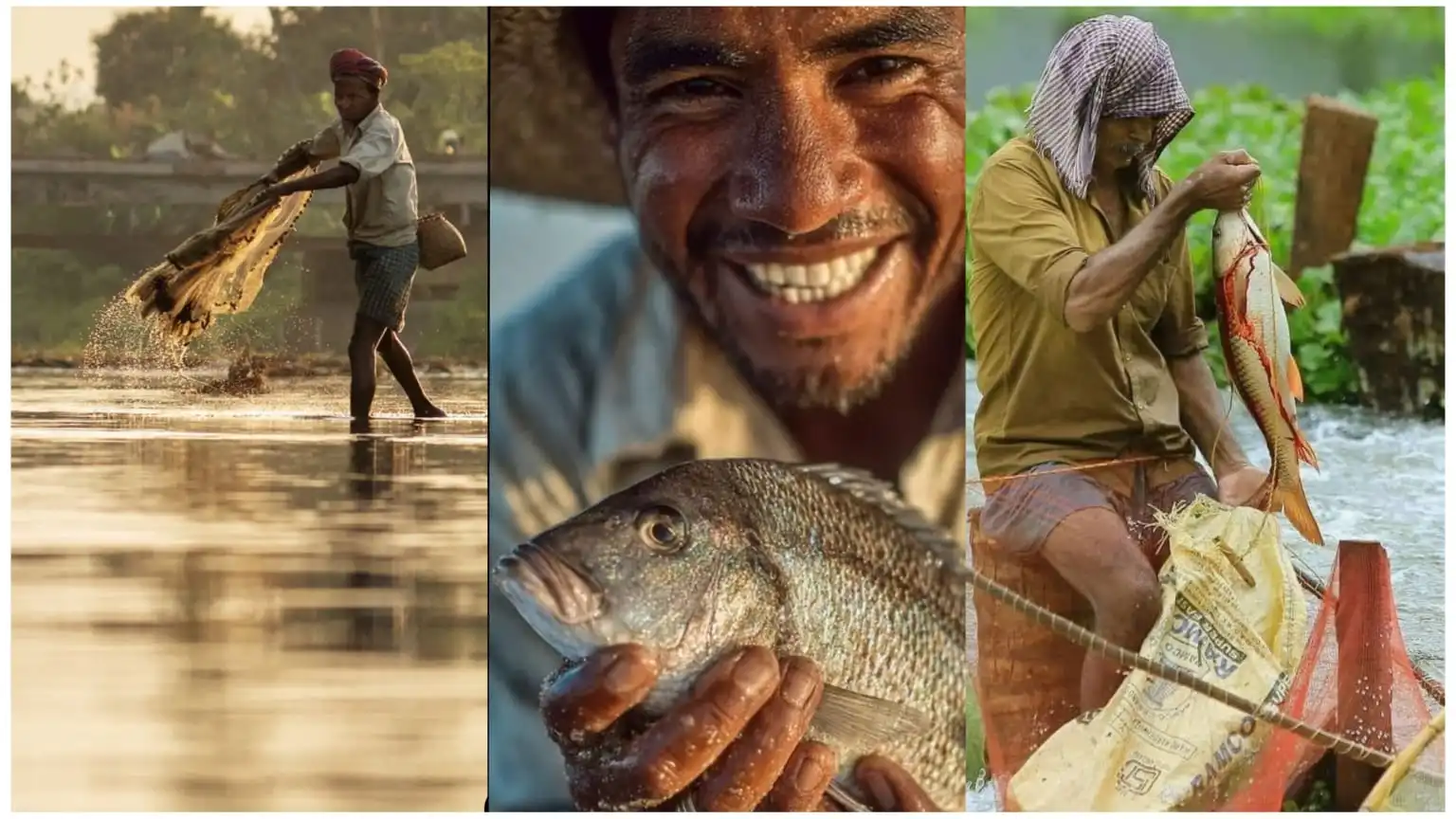
The Padma is the Ganges as it enters Bangladesh. Farmers along its banks grow rice and jute, and fishers chase hilsa, the national fish. Since 2022 the Padma Bridge has let southwestern towns reach Dhaka in hours instead of days.
2.The Jamuna Splits the Country in Two
This is the Brahmaputra under a local name, and it is huge. Sandy islands called chars appear and vanish within its channels, and families still farm them. The Bangabandhu Bridge, opened in 1998, ties north and south together.
3.The Meghna Carries Everything to the Sea
By the time the Padma and Jamuna join it, the Meghna is wide enough to look like open water. Cargo ships, ferries and fishing boats share it.
4.The Karnaphuli Powers Chattogram
The country’s busiest seaport sits at its mouth. Further inland, the Kaptai Dam turns the river into electricity.
5.The Teesta Runs Thin in Winter
Northern farmers irrigate their fields from it, yet the dry season often leaves it close to empty. Sharing its water with India remains an unsettled issue.
6.The Surma Waters Tea Country
It flows past Sylhet’s tea gardens and hills, and small boats still move goods along it.
7.The Kushiyara Fills the Haors
Branching off the Barak River near the Indian border, the Kushiyara helps flood the haor wetlands each monsoon. Farmers there get one big rice harvest a year, so a sudden flood can wipe out their income.
8.The Buriganga Shows the Cost
Dhaka grew beside this river, and Sadarghat terminal still buzzes with passengers. Sadly, factory waste has turned its water dark, and cleaning it up is a long fight.