
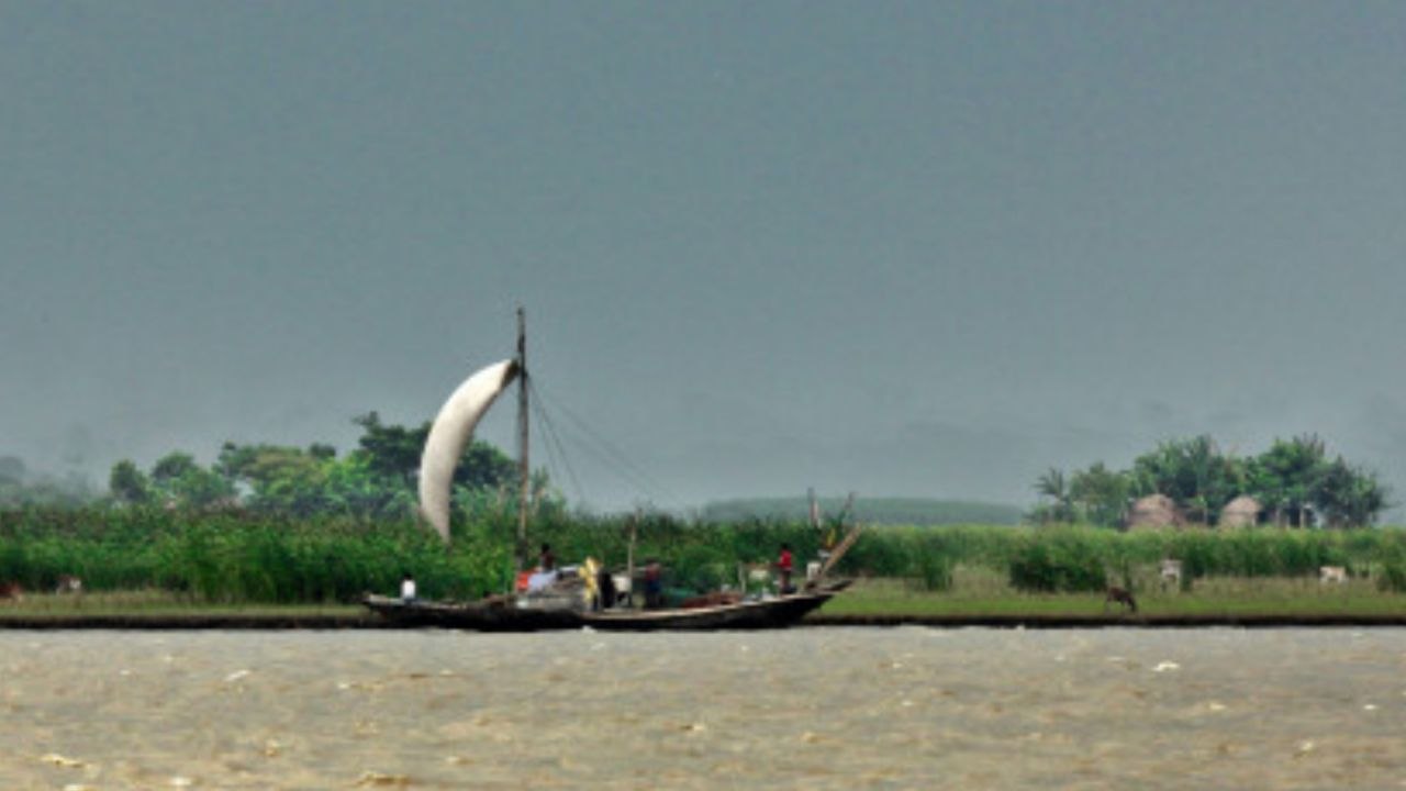
The Meghna estuary spreads over almost 7,880 square kilometres of Noakhali, Lakshmipur, Bhola and Chandpur, where the combined Ganges-Brahmaputra-Meghna river system meets the Bay of Bengal through four major channels. This river system carries the world’s largest sediment load, with almost a billion tonnes of silt discharged every year. About one-fifth of this load sinks into the estuary as raw material for new land.
New Islands Forming and Converging
The Centre for Environment and Geographical Information Services used satellite analysis to identify about 40 new chars – comprising around 1,643 square kilometres in the Meghna estuary alone – created in a 15-year span, with dozens more presently forming. In one dramatic example, three islands off Sandwip and Monpura are beginning to coalesce as one landmass, a phenomenon that geologists say is evidence of four decades of consistent accretion in the area.
Discover More Stories Worth Your Time
See Which Foods Ease Seasonal Changes?
Explore five comforting foods that can help you feel your best.
Explore Why Wages Stay Frozen?
Discover how stagnant minimum wages are affecting Bangladesh’s garment workers and families.
Check How Conflict Hurts Jobs?
Explore why Middle East tensions could threaten Bangladesh’s jobs and poverty gains.
Learn How To Spot H1N1?
Discover H1N1 symptoms, prevention tips, and essential facts for Bangladesh.
Find Which Netflix Picks Worth Watching?
Discover binge-worthy Netflix choices for a relaxing weekend at home.
Where New Land Is Created
New settlements are already springing up on newly created land, such as Shobuj Char near Sandwip, an 80-square-kilometre expanse where families displaced by river erosion elsewhere are moving to farm and graze livestock. Another prominent example is Bhasan Char, which first appeared above high tide in 2002, and has since developed into a stable island used for resettlement and settlement projects.
A Fragile, Fluctuating Balance
Researchers say accretion and erosion work together, not separately. Studies of offshore islands over three decades found that about 1,100 sq km eroded, but accretion still resulted in a net gain of about 110 sq km. Many of the newly formed chars are still vulnerable and could disappear again due to erosion, say CEGIS officials, highlighting the need to conduct land surveys, known as diara surveys, every time new land emerges to establish ownership and boundaries.