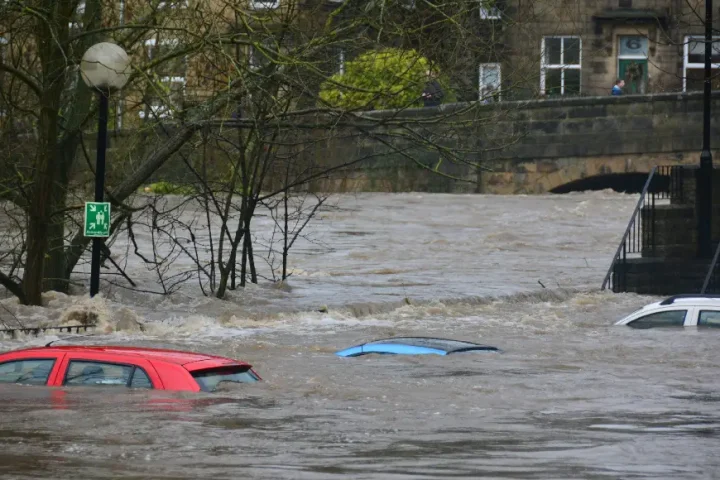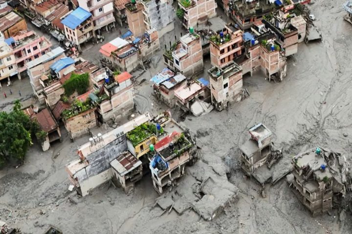


Bangladesh’s Flood Forecasting and Warning Centre (FFWC) has warned that flash floods are likely across large parts of the country over the next 24 to 72 hours, as persistent monsoon rains push river levels sharply higher. The Water Development Board agency said at least 17 districts spanning the eastern, southeastern, northeastern and northern regions face short-term flood risk, with landslide danger also rising sharply in the hilly areas of Chittagong Division.
Which Rivers Are Under Watch
According to the FFWC’s latest bulletin, the Gomati, Muhuri, Feni, Selonia, Halda, Sangu and Matamuhuri rivers in Chittagong Division could flow above danger level at several points in Bandarban, Cox’s Bazar, Feni, Chattogram and Khagrachhari districts. In the northeast, the Surma and Kushiyara rivers are rising rapidly toward warning levels in Sylhet and Sunamganj, while the Manu, Dhalai, Khowai, Kangsha, Sarigowain, Someshwari, Jadukata and Bhugai rivers are forecast to rise quickly across Moulvibazar, Habiganj, Netrokona, Sherpur and Mymensingh. In the north, the Teesta River may cross the danger mark within 48 hours, threatening low-lying parts of Nilphamari and Lalmonirhat, with the Dharla and Dudhkumar rivers also approaching warning levels in Kurigram and Lalmonirhat.
Bandarban Faces The Highest Risk
Bandarban has emerged as the most vulnerable district, with nearly 30,000 families living in landslide-prone foothill areas across its seven upazilas. District authorities have opened 120 emergency shelters, formed eight medical response teams, and launched public awareness campaigns in high-risk zones. Rising water in the Sangu and Matamuhuri rivers has heightened flood danger specifically in Thanchi, Ruma, Lama and Alikadam upazilas, prompting the closure of nearby tourist sites as a precaution.
Why This Window Is Historically Dangerous
FFWC officials have separately flagged July and August as the period when Bangladesh’s most severe flooding has historically occurred, driven by heavy rainfall in the upstream catchments of the Brahmaputra and Meghna basins. The agency noted it can now forecast inland river flooding up to 10 to 15 days in advance, giving authorities a longer lead time to prepare evacuation and relief measures than in past decades.
Discover More Stories Worth Your Time
What Does the HSC 2026 Exam Suspension Mean for Students?
Get the latest updates on exam postponements caused by the ongoing flood crisis.
Why Are So Many Garment Workers Losing Their Jobs?
Understand the factors behind Bangladesh’s latest apparel industry layoffs.
Why Is Measles Making a Comeback in Bangladesh?
Discover what’s driving the outbreak and why health experts are concerned.
Which Countries Offer the Best Future for Bangladeshi Students?
Compare study destinations with easy work permits and permanent residency opportunities.
Is Artificial Intelligence Changing the Future of Movies?
See how Hollywood’s first virtual actress is reshaping the film industry’s future.
What Residents Should Do
Authorities have urged residents in the affected districts to stay alert to local warning signals, avoid unnecessary travel near riverbanks and hill slopes, and follow evacuation instructions from district administrations. With heavy to very heavy rainfall forecast to continue across Chattogram, Rajshahi, Dhaka, Khulna, Barisal and Sylhet divisions over the coming days, the FFWC said flood and landslide risks are expected to remain elevated through the week.
Summary
Bangladesh’s Flood Forecasting and Warning Centre has issued a flash flood alert after monsoon rains pushed water levels sharply higher in rivers across Chittagong, Sylhet and northern districts, with at least 17 districts facing flood risk over the next three days.