
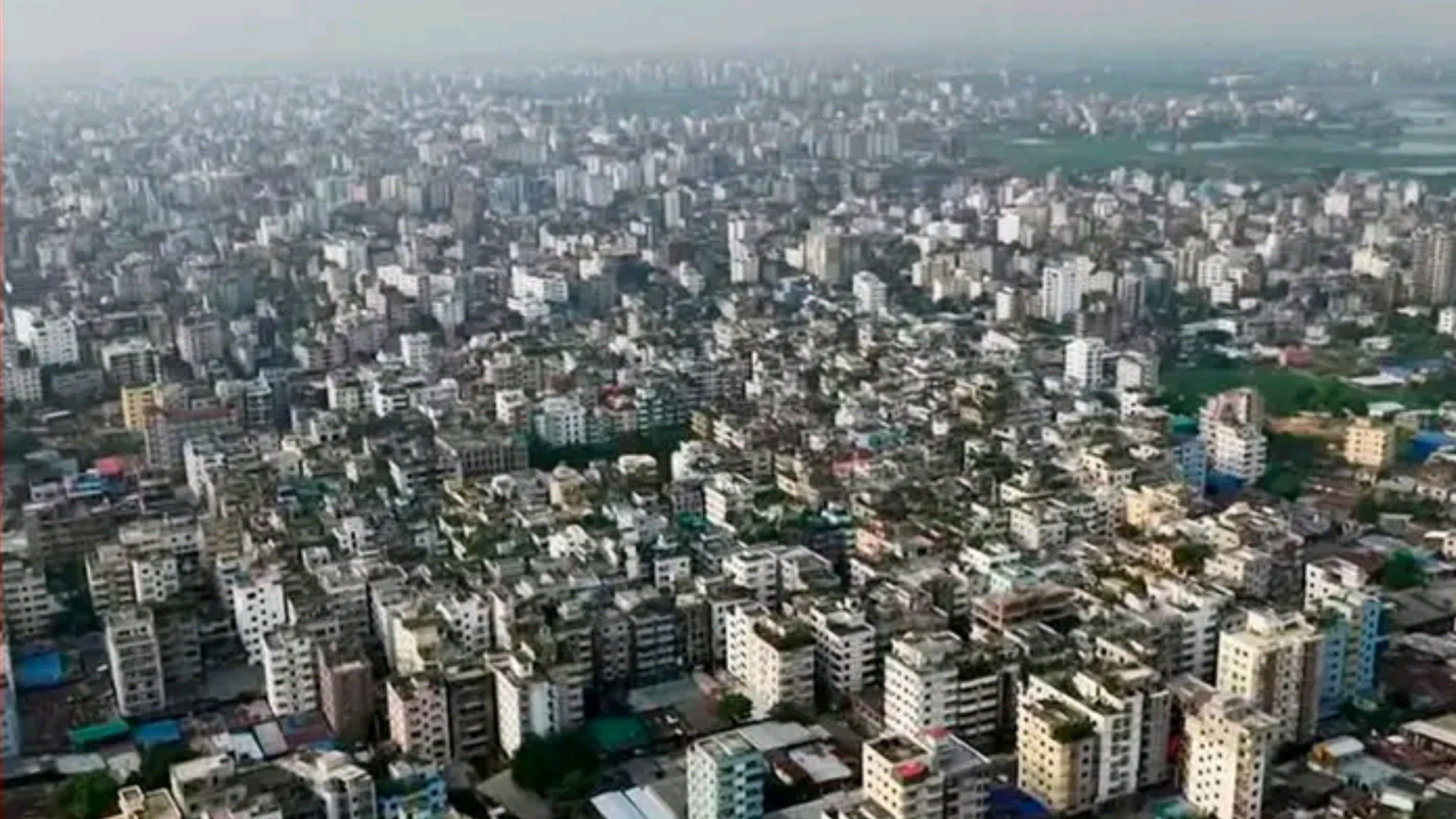
Two Hazards, One City: Dhaka sits at the uncomfortable overlap of two separate natural threats. The city is built largely on soft alluvial soil and reclaimed wetlands, ground that experts have long flagged as highly vulnerable to earthquakes. It is also a monsoon city, where seasonal rains push groundwater close to the surface across large parts of the capital. On their own, each hazard is well documented. Together, research shows they combine into something far more dangerous than either poses alone, a seasonal spike in earthquake risk that most residents never think about until the ground actually starts to shake.
What Liquefaction Actually Does to a City
Liquefaction happens when strong ground shaking causes water-saturated, loose soil to temporarily lose its strength and behave like a liquid rather than solid ground. Buildings standing on that soil can tilt, sink, or collapse outright as their foundations lose support, even if the structure itself would otherwise have survived the tremor.
A joint study by Rajdhani Unnayan Kartripakkha and the Bangladesh University of Engineering and Technology found that around 55 to 60 percent of Dhaka falls within the highest-risk liquefaction zones on the city’s hazard map, ground made up largely of sandy fill and soft clay laid down where wetlands, canals, and low-lying areas were filled in during the city’s rapid, often unplanned expansion.
The Hinge: Why the Monsoon Changes the Equation
This is where the seasonal timing becomes critical. Research modelling liquefaction probability for a magnitude 7.0 earthquake in Dhaka found that in the dry season, liquefaction probabilities across the city’s risk zones range from 68 to 88 percent. During the wet season, when groundwater sits far closer to the surface, those same zones see probabilities jump to between 90 and 100 percent.
For a magnitude 7.5 event, the pattern holds just as starkly, climbing from a dry-season range of 79 to 98 percent up to a wet-season range of 99 to 100 percent. In practical terms, the same earthquake striking Dhaka in August carries a measurably higher chance of triggering catastrophic ground failure than the identical earthquake striking in February.
Where the Danger Concentrates
Not all of Dhaka faces this risk equally. BUET’s Professor Mehedi Ahmed Ansary has pointed out that areas near rivers, canals, ponds, and wetlands, where groundwater levels are naturally highest, face the greatest amplification of shaking on top of the liquefaction risk itself.
Upazilas including Uttara, Turag, Pallabi, Darus Salam, Kafrul, Tejgaon, Rampura, Motijheel, and Demra have been identified as particularly susceptible to severe liquefaction, with the number of people living in these high-risk zones running into the millions. Old Dhaka and areas like Bashundhara have separately been flagged by urban planning researchers as especially vulnerable, the former due to densely packed buildings with weak foundations, the latter because of its soft underlying soil.
A Warning Bangladesh Has Already Received
Bangladesh does not lack for historical reminders of what a major earthquake can do. The 1897 Great Indian Earthquake, at magnitude 8.0, killed more than 1,500 people across then-undivided Bengal, while the 1918 Srimangal earthquake, at magnitude 7.6, caused extensive damage in the region.
More recently, a 5.7-magnitude earthquake in Narsingdi tilted buildings and claimed ten lives in Dhaka and neighbouring districts, a tremor seismologists describe not as a pressure release but as a sign that stress continues building along the fault systems near the capital. Experts note that around 90 per cent of earthquake fatalities typically come from collapsing buildings rather than the shaking itself, which makes the liquefaction question central to how deadly any future quake would be.
Discover More Stories Worth Your Time
Explore Why Dengue Cases Rising?
Discover what is driving Bangladesh’s latest dengue surge and the health concerns emerging nationwide.
Check How Sylhet Border Watch Improves?
Explore how the new facility strengthens Bangladesh’s border surveillance and drone capabilities.
See Why Rising Seas Threaten Dhaka?
Discover why the UN warns millions across Mumbai, Kolkata, and Dhaka face immediate coastal risks.
Find Why Trump Praised Tarique?
Explore what the US president’s letter says about the Boeing aircraft deal.
Learn How Adani Supply Returns?
Discover how Bangladesh’s payment settlement helped restore full electricity supply from the Godda plant.
Why the Fix Is Slower Than the Risk
Addressing this compounded risk requires more than just stronger buildings. Experts stress strict compliance with the Bangladesh National Building Code, particularly proper piling and soil improvement, before construction proceeds in high-risk zones, alongside broader efforts to preserve remaining wetlands and open water bodies that currently absorb some flood risk while also indicating where the ground is least stable.
Yet Dhaka’s construction boom has continued largely outpacing this kind of enforcement, with new housing developments still rising on filled land in flood-prone, high-groundwater areas.
The Season That Matters Most
None of this changes when or whether a major earthquake will strike Dhaka, a question no model can answer with certainty. What the liquefaction research does make clear is that the monsoon months are not a neutral backdrop to that risk; they are an active multiplier of it. For a city already reckoning with fragile ground and inconsistent building standards, understanding that seasonal hinge and building and planning around it, may matter as much as bracing for the earthquake itself.